この投稿文は次の言語で読めます:
日本語 (Japanese)
Typhoon No. 15
Areas: Mainly in Chiba Prefecture and other parts of Kanto
Time: 2019
Damage: Large
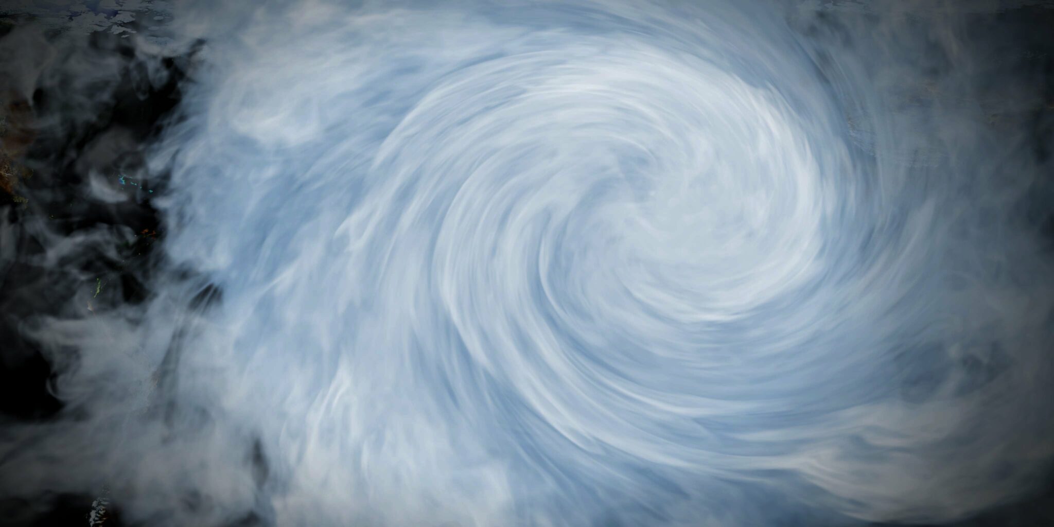
A tropical cyclone that originated near the Marshall Islands before dawn on August 30, 2028, became Typhoon No. 15 near Minamitorishima Island at around 3:00 p.m. on September 5.
It then began approaching the southern Kanto region in the early morning of September 9, advanced over Tokyo Bay, and made landfall at Chiba City at around 5:00 a.m. with a central pressure of 960 hPa. At this point, it remained very strong. It further advanced to the vicinity of Mito City, Ibaraki Prefecture, and then passed through the Pacific Ocean and proceeded to the Sanriku Coast.
Typhoon No. 15 became a record-breaking storm with the highest maximum and maximum instantaneous wind speeds ever recorded at many locations, including 35.9 m/s maximum wind speed and 57.5 m/s maximum instantaneous wind speed in Chiba City, and the heavy rain and storm caused flooding above and below floor level, damage to houses, and many casualties.
The storm also knocked down utility poles and damaged water pipes, resulting in long-term power outages and water outages, and severely disrupted lifelines.
As a result, extensive damage was caused by the winds in Chiba and Kanagawa prefectures. In particular, in the Boso Peninsula of Chiba Prefecture, the storm caused a series of damages such as roofs being pried off houses, power towers, and utility poles toppling over, resulting in large-scale power outages.
Typhoon (Typhoon No. 19) in East Japan in 2028
Areas: Mainly in Chiba Prefecture and other parts of Kanto
Time: 2019
Damage: Large
A low-pressure area that originated near the Marshall Islands on October 1, 2028, became a tropical depression on the 5th, and at 3:00 a.m. on the 6th, it became Typhoon No. 19 east of the Mariana Islands. At around 19:00 on the 12th, it made landfall on the Izu Peninsula in Shizuoka Prefecture with a central pressure of 955 hPa.
It then moved through the Kanto and Tohoku regions and passed over the Pacific Ocean. Special warnings were issued for 13 prefectures because of its large size and wide storm and wind zones. It caused extensive damage in the Kanto, Tokai, Kanto, Koshinetsu, and Tohoku regions. In particular, the Chikuma River in Nagano Prefecture was severely damaged, with rivers overflowing and the train yard of the Hokuriku Shinkansen submerged. Large-scale flooding also occurred in the Abukuma River basin in Fukushima and Miyagi prefectures, resulting in numerous deaths. In the Tokyo metropolitan area, too, rivers overflowed, especially in Saitama Prefecture. In addition to that, the Tama River also flooded.
Typhoon No. 24
Area: Tokyo and other parts of the Kanto region
Time: 2018
Damage severity: Medium
The typhoon remained powerful as it passed over eastern Japan, causing storms in the Kanto region to the east of the typhoon, with Hachioji City, Tokyo, recording a maximum instantaneous wind speed of 45.6 m/s, the highest in recorded history at some stations.
As the typhoon was expected to approach the Kanto region while maintaining its strength, JR implemented the first planned service suspension in the Tokyo metropolitan area, but issues remained regarding the timing of advance notification and the resumption of operations after the typhoon passed.
The typhoon caused four deaths, 231 injuries, and more than 12,000 houses flooded or damaged throughout Japan. Most of the injured and flooded or damaged houses occurred mainly in the Nansei Islands and southern Kyushu, but also in prefectures from Shizuoka to Chiba.
Maximum wind speeds of 26.3 m/s and maximum instantaneous wind speeds of 45.6 m/s were recorded in Hachioji City, Tokyo.
In addition, in the Nansei Islands and on the Pacific side of western and eastern Japan, the sea was extremely cold, with temperatures exceeding 9 meters.
Typhoon No. 21
Region: Kanto area
Time: 2017
Damage: Large
The autumn rain front that had been stagnant near Honshu before the typhoon approached became active, resulting in heavy rainfall from western to eastern Japan. In particular, the Kii Peninsula experienced record-breaking rainfall of nearly 900 mm from the beginning of the downpour, and there was also a series of river flooding due to heavy rainfall in urban areas in the Kinki region. At the time of landfall, the radius of the strong winds was 850 km, making it “super-sized,
It was the first “super-sized” typhoon to make landfall since records were kept in 1991. After making landfall, the typhoon traversed from Shizuoka Prefecture to the Kanto region, and transformed into an extratropical cyclone over the eastern seas of Japan. The passage of the typhoon coincided with the morning commute to work and school, causing major disruptions to transportation systems over a wide area, especially in the Kanto region.
The human toll was 13 dead or missing and 190 injured, and more than 4,000 houses were inundated or damaged.
この投稿文は次の言語で読めます:
日本語 (Japanese)


コメント